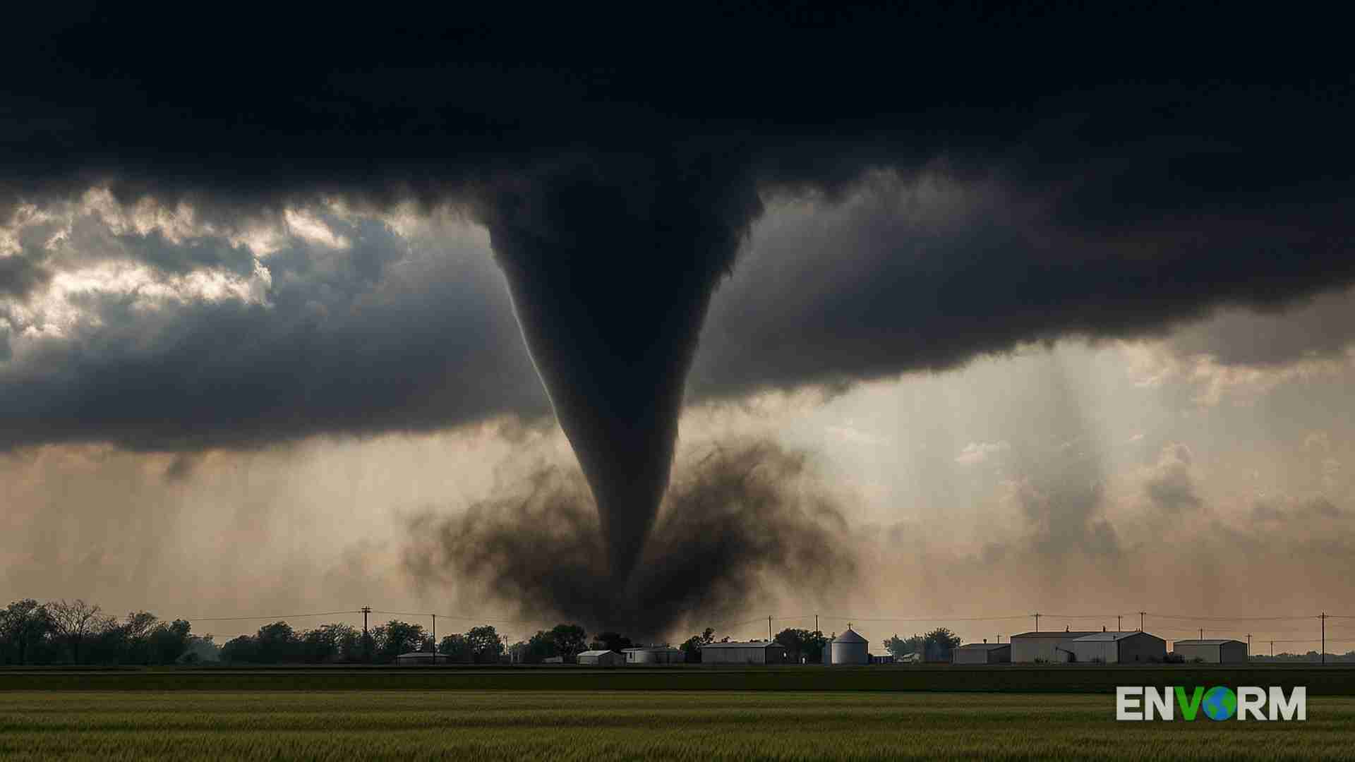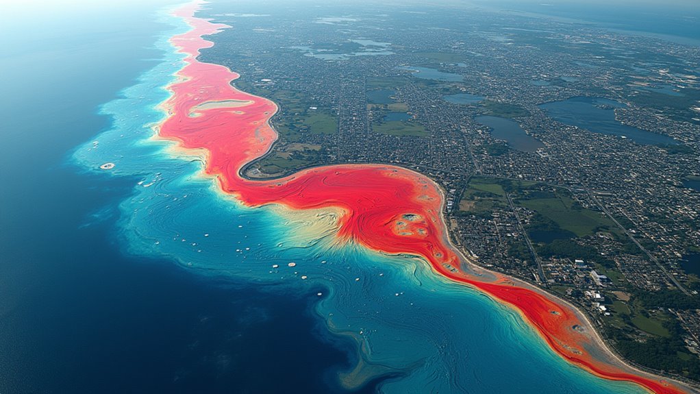

Modern risk mapping combines GIS technology, machine learning, and real-time data to predict disaster-prone areas with remarkable accuracy. Advanced modeling systems analyze diverse factors like terrain, weather patterns, and infrastructure vulnerabilty to identify high-risk zones before catastrophic events occur. Emergency managers use these tools to optimize resource deployment, plan evacuations, and enhance community resilience. From flood hazards to chemical incidents, these technologies help communities stay one step ahead of potential disasters. Exploring these innovations reveals how science transforms disaster preparedness.
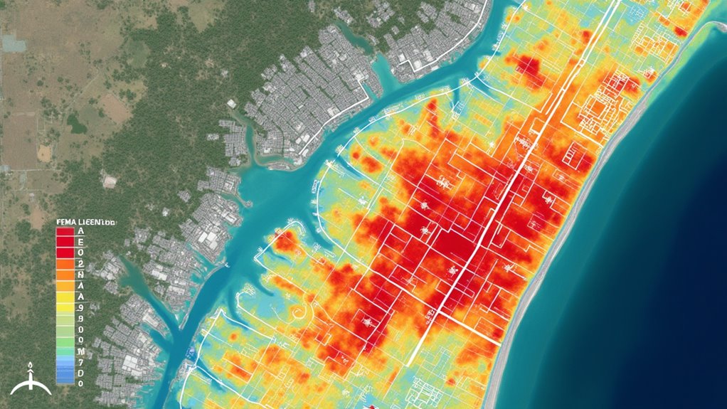
While natural disasters have long posed significant challenges to communities worldwide, modern risk mapping and modeling technologies are revolutionizing how we prepare for and respond to catastrophic events. Through sophisticated Geographic Information Systems (GIS) and advanced modeling techniques, emergency managers can now identify, analyze, and visualize areas most susceptible to various natural hazards with unprecedented accuracy.
The Federal Emergency Management Agency’s Risk MAP program stands at the forefront of these efforts, combining flood hazard mapping, risk assessment, and mitigation planning into a thorough approach. This innovative program delivers high-quality data and assessment tools while building vital partnerships between communities to enhance resilience against flood damage. Rising temperatures and altered precipitation patterns due to climate change further highlight the need for such proactive measures. Through its systematic phases – from initial discovery to final resilience planning – Risk MAP provides communities with detailed Digital Flood Insurance Rate Maps and essential datasets for hazard mitigation. Emergency management systems are evolving from reactionary to predictive functions, enabling more proactive disaster preparedness strategies. Climate finance flows reached $632 billion in 2019-2020, supporting various mitigation efforts and highlighting the importance of investing in such preventive measures. The economic consequences of extreme weather events emphasize the importance of effective risk mapping and disaster preparedness.
Modern risk mapping technologies leverage machine learning algorithms to identify vulnerable areas and categorize exposed elements with remarkable precision. These systems integrate diverse data sources into a unified platform, enabling swift analysis and decision-making during emergencies. The U.S. Army Corps of Engineers has successfully employed these tools during events like Hurricane Isabel, while fire departments use similar systems to optimize the deployment of emergency medical resources. Nature-based solutions, such as the restoration of wetlands, are also being incorporated into flood risk management to enhance community resilience.
The practical applications of risk mapping extend far beyond immediate disaster response. Urban planners utilize these tools to make informed decisions about land use and development, while insurance companies rely on the data to create accurate flood insurance products. The technology’s ability to model atmospheric plume dispersion has proven invaluable for evacuation planning and shelter-in-place decisions during chemical incidents or wildfires. With nearly 2 billion people worldwide facing flood risks, these mapping technologies are more critical than ever for protecting vulnerable populations.
Perhaps most importantly, risk mapping serves as a powerful communication tool, helping officials convey potential dangers to citizens in clear, actionable terms. Through web viewers and digital platforms, stakeholders can access Flood Hazard and Risk Maps, understanding not just where flooding might occur, but also its potential depth, flow velocity, and impact on human health and infrastructure.
The development of a national flood modeling framework, coupled with innovative geospatial analysis techniques, continues to push the boundaries of what’s possible in disaster prediction and preparedness. These advancements are particularly vital as communities face increasing challenges from climate change and urban development.
Frequently Asked Questions
How Accurate Are Risk Mapping Predictions Compared to Actual Disaster Outcomes?
Risk mapping predictions demonstrate strong but varied accuracy levels across different disaster types.
Recent AI algorithms achieved 70% accuracy in earthquake forecasting, with 14 successful predictions and only 8 false alarms.
The GRADE approach shows 75%+ accuracy in disaster assessment compared to ground surveys.
Hurricane forecasting accuracy has markedly improved through advanced satellite technology and modeling.
However, challenges remain in predicting exact timing and magnitude of events across all disaster types.
What Software Platforms Are Commonly Used for Disaster Zone Risk Modeling?
Several powerful software platforms dominate disaster zone risk modeling.
Industry leaders like RMS and AIR Worldwide provide extensive catastrophe modeling tools, while FEMA’s Hazus offers standardized risk assessment for natural disasters.
GIS-based solutions like ArcGIS and QGIS enable detailed spatial analysis.
Open-source platforms like Oasis Loss Modelling Framework make advanced modeling more accessible.
Government agencies rely on specialized tools like NOAA’s SLOSH for hurricane surge predictions.
How Often Should Risk Maps Be Updated to Maintain Prediction Accuracy?
Risk maps require regular updates to maintain accuracy, with recommended intervals varying by hazard type. FEMA flood maps should update every 5-7 years, while seismic hazard models need revision every 3-5 years.
Critical factors triggering immediate updates include major disasters, significant land development, or new climate data. Best practices suggest implementing continuous monitoring systems and establishing clear update triggers based on environmental changes or population shifts.
Some risk indicators warrant real-time updates through automated systems.
Can Risk Mapping Predict the Economic Impact of Potential Disasters?
Risk mapping effectively predicts economic impacts of potential disasters through sophisticated modeling tools.
Advanced catastrophe models calculate direct property damages, while input-output analyses simulate broader economic ripple effects. When combined with GIS data and social accounting matrices, these systems forecast financial losses across different sectors.
Modern risk mapping can quantify everything from insurance premium adjustments to business disruption costs, helping communities and organizations prepare financially for disasters.
What Role Does Artificial Intelligence Play in Modern Risk Mapping Technologies?
Artificial intelligence revolutionizes risk mapping by processing massive datasets from satellites, sensors, and social media to identify disaster patterns.
AI algorithms analyze complex variables like terrain, weather, and population density simultaneously, producing highly accurate predictive models.
The technology enables real-time monitoring of potential hazards, automates early warning systems, and optimizes emergency response planning.
Machine learning continues to improve these systems’ accuracy through constant data analysis and pattern recognition.