Advanced monitoring systems act as Earth’s health trackers through an interconnected web of technology. Hundreds of satellites capture daily images and measurements, while ground sensors and ocean vehicles collect surface-level data. Machine learning algorithms process this massive information to track essential signs like greenhouse gases, ice melt, and air quality. From wildfire detection to flood mapping, these systems enable rapid disaster response. The technological revolution reveals deeper insights into our planet’s changing conditions.
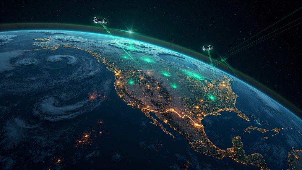
While humanity’s impact on Earth continues to grow, an unprecedented network of monitoring systems keeps vigilant watch over our planet’s fundamental signs. Hundreds of satellites orbit above, capturing detailed images and measurements of everything from atmospheric pollution to ocean temperatures, while ground-based sensors and ocean vehicles collect essential data from Earth’s surface and seas. These systems are crucial in tracking emissions as they provide insights into the sources and levels of greenhouse gases contributing to global warming.
This vast web of monitoring technology provides an extensive view of our changing planet. The Copernicus Sentinel missions deliver high-resolution optical and radar imaging, while specialized instruments like NASA’s MODIS and ASTER capture crucial data about Earth’s systems. Planet Labs’ constellation of over 150 small satellites photographs the entire planet daily, enabling near real-time tracking of environmental changes. The International Space Station now covers 90% of Earth’s population during its orbit, providing critical real-time monitoring of storms and volcanic activity. Machine learning algorithms assist in analyzing the massive amounts of satellite data, similar to how AI tools help entrepreneurs process large datasets. Renewable energy sources, such as solar PV and wind, have contributed significantly to reducing emissions and mitigating climate change as highlighted by the data. Industrial innovations like green steel production could further reduce emissions by up to 90% by 2050, showcasing the importance of technological advancements.
The technology doesn’t just look down from above – it peers into our atmosphere and oceans too. Advanced instruments like TROPOMI measure dangerous pollutants including nitrogen dioxide, carbon monoxide, and methane, while the Copernicus Atmosphere Monitoring Service uses this data to forecast air quality worldwide. In the oceans, autonomous Saildrone vehicles work alongside satellites to track sea surface conditions, harmful algal blooms, and changing water levels.
Perhaps most important is these systems’ ability to track climate change indicators. Satellites measure greenhouse gas concentrations with unprecedented precision, while radar and laser instruments monitor ice sheet melt and sea level rise down to the millimeter. Fifty years of Landsat imagery reveals how land use has transformed, as machine learning algorithms process vast amounts of data to classify changing landscapes and detect deforestation. Successful climate adaptation measures rely on this data to implement strategies that protect communities and ecosystems from environmental threats.
Advanced satellites and AI now track Earth’s vital signs, from greenhouse gases to ice melt, with remarkable precision and detail.
When disasters strike, this monitoring network springs into action. Satellites can be rapidly tasked to photograph affected areas, with radar systems penetrating cloud cover to map flood extent. Thermal sensors detect wildfires and volcanic activity, while InSAR technology measures ground movement from earthquakes. These capabilities support essential disaster response efforts through improved situational awareness and communication.
The future of Earth monitoring lies in integration. Scientists are combining observations with numerical models through data assimilation, creating more accurate forecasts and deeper understanding of Earth’s systems. Climate reanalysis merges historical observations into consistent datasets, while machine learning helps extract meaningful patterns from the exponentially growing volume of Earth data.
Perhaps most ambitious are digital twin Earth concepts, which aim to simulate our entire planet as an interconnected system.
This technological revolution in Earth observation provides an unprecedented ability to understand and respond to environmental challenges. While the data sometimes reveals concerning trends, it also enables more effective solutions and interventions. Through these monitoring systems, humanity has developed something remarkable – a planetary nervous system that helps us better protect and manage our one and only home.
Frequently Asked Questions
How Much Does It Cost Annually to Maintain Global Earth Monitoring Systems?
The annual cost of global Earth monitoring systems reaches $4.16 billion in 2024, with North America spending $1.66 billion and Europe investing $1.25 billion.
The Asia Pacific region contributes $956 million, while Latin America and Middle East/Africa spend $208 million and $83 million respectively.
These costs cover satellite operations, maintenance, and data processing.
The market is expected to grow to $9.53 billion by 2029, driven by increased satellite launches and technological advancements.
Can Individuals Contribute Data to Global Earth Monitoring Networks?
Yes, individuals can actively contribute valuable data to global Earth monitoring networks through various citizen science initiatives.
Using smartphones, personal weather stations, and low-cost sensors, people collect local environmental measurements that complement professional data.
Platforms like iNaturalist and GEOPortal enable anyone to share observations of biodiversity, weather patterns, and environmental conditions.
These contributions help fill data gaps and enhance our understanding of Earth’s systems.
What Happens When Satellite Monitoring Systems Malfunction or Fail?
When satellites malfunction or fail, it triggers cascading disruptions across global systems.
Intelligence gathering slows down, climate monitoring becomes patchy, and communication between bases gets compromised.
The economic impact is severe, with repair costs reaching $50-70 million per satellite.
Technical failures like solar particle interference and thermal anomalies can reduce satellite lifespans by 2-3 years, while critical data transfers to Earth become unreliable or cease completely.
How Do Different Countries Share and Standardize Their Earth Monitoring Data?
Countries share Earth monitoring data through GEOSS, a global partnership of 100+ nations that promotes open data exchange.
International organizations like ISO, OGC, and WMO establish common standards for formats, metadata, and measurements.
The GEOSS Portal and Data Access Broker facilitate seamless data sharing, while initiatives like NASA’s open data policy and ESA’s Copernicus program make information freely available.
Common formats like NetCDF and standardized web services guarantee compatibility across systems.
Which Regions of Earth Remain Challenging to Monitor With Current Technology?
Despite advanced technology, several regions remain stubbornly difficult to monitor.
Polar areas pose challenges due to limited satellite coverage and extreme conditions.
Dense tropical rainforests, with persistent cloud cover, obscure ground observations.
Remote ocean zones stay largely untracked.
Underground ecosystems and deep-sea environments present unique monitoring hurdles.
Urban areas with complex 3D structures create signal interference.
High mountain ranges combine accessibility issues with unpredictable weather patterns.